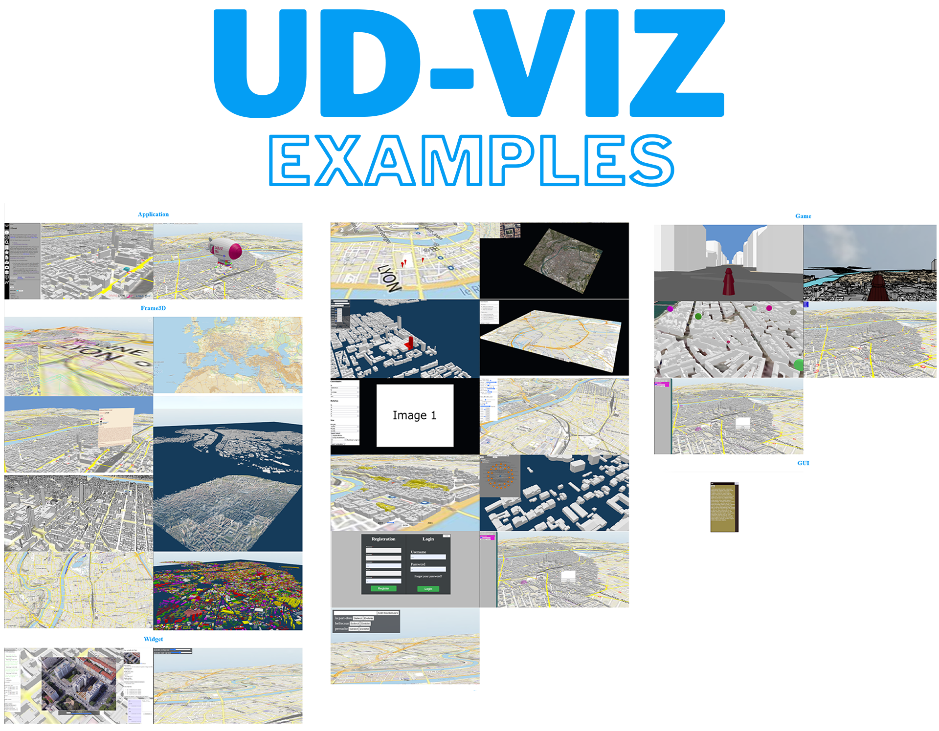
- UD-Viz client side : this demo illustrates the end-user’s features and extensions
- Versioning the city : three timestamps at city level (3DTiles based) ⚠
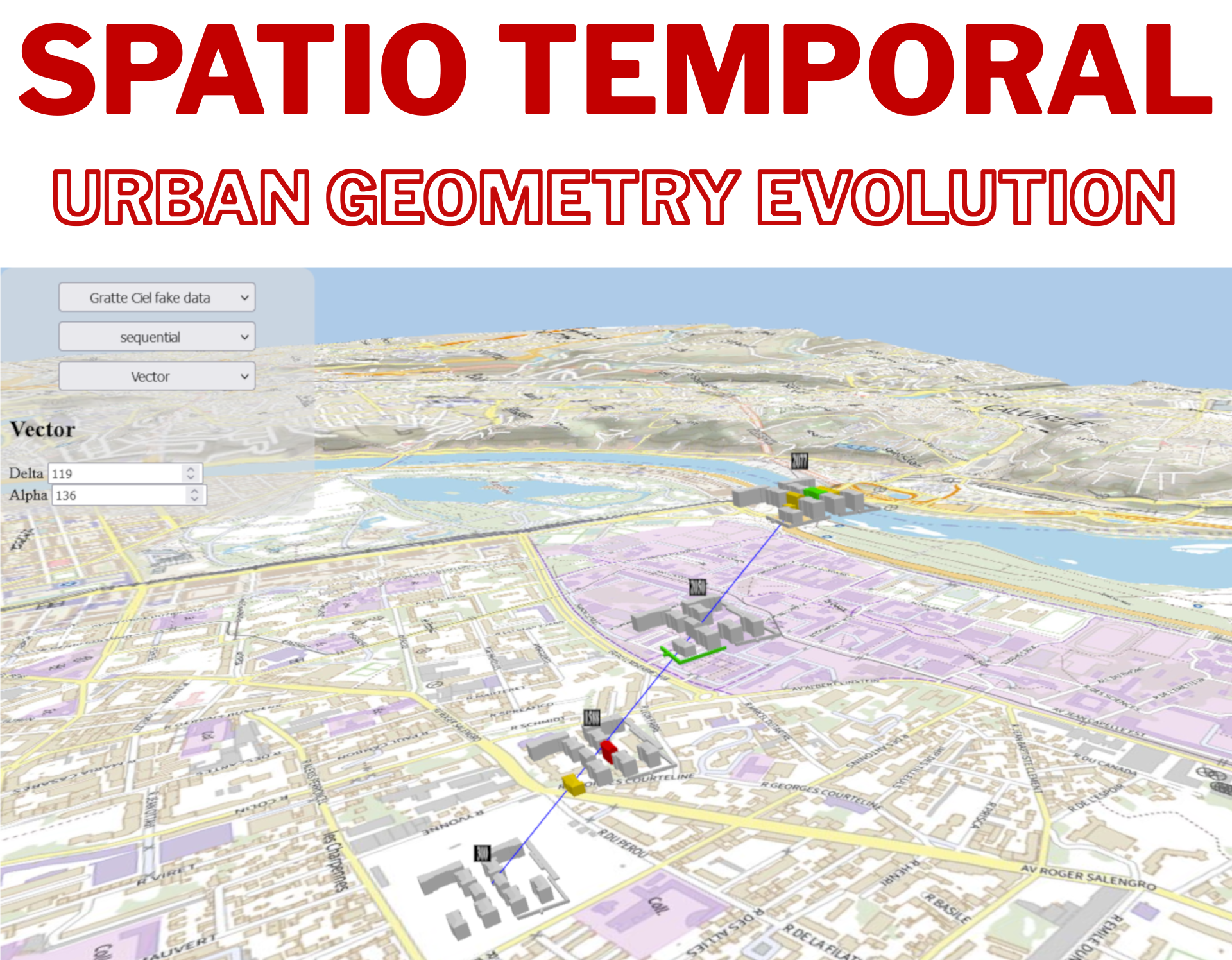
- Spatio-temporal: Shapes of timelines : Spatio-temporal modalities.
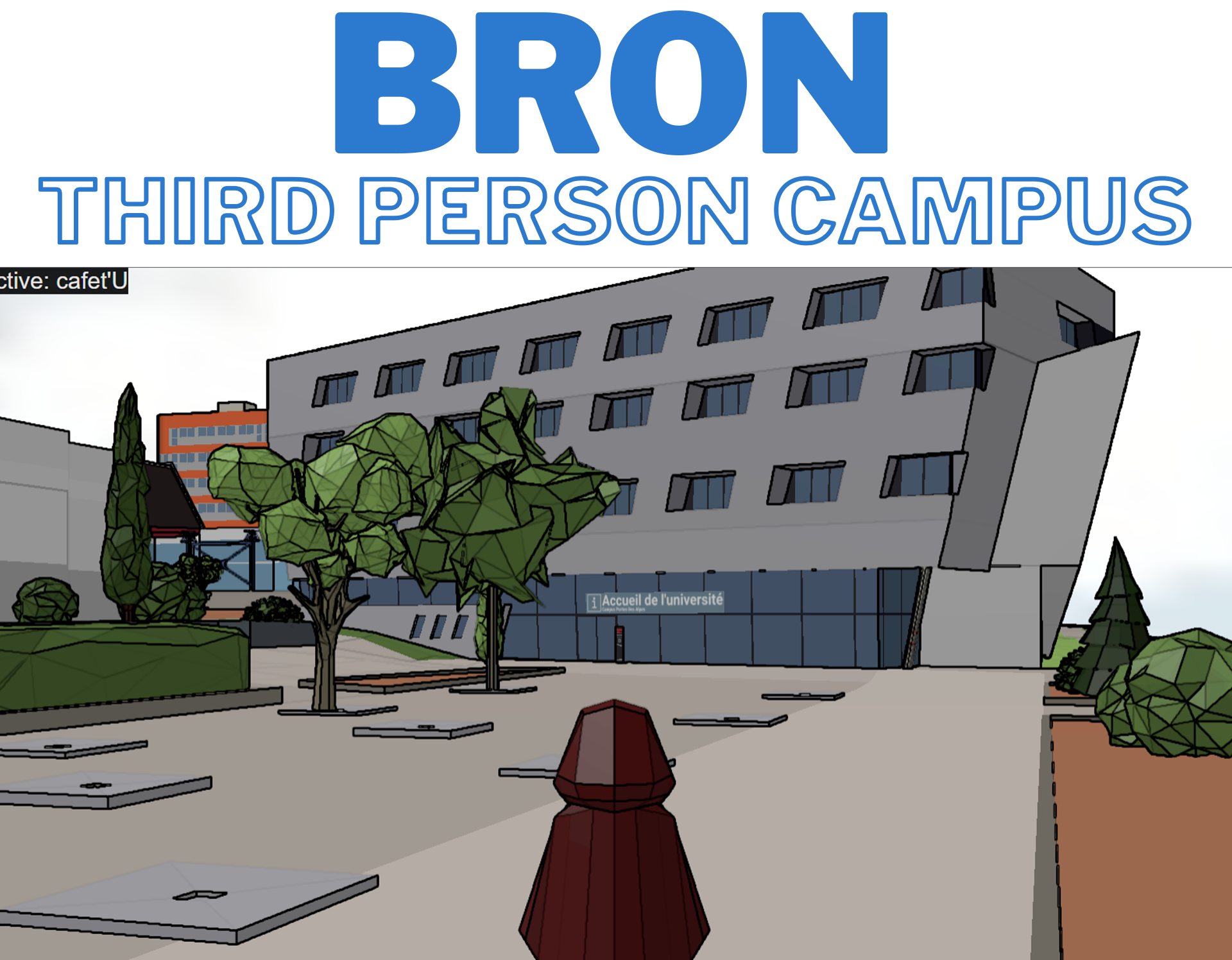
- Third person campus wandering : virtually wander (with a third person view at human scale) within a 3D model of the Portes des Alpes de Bron university campus (compare with a VR-photography based campus visit )
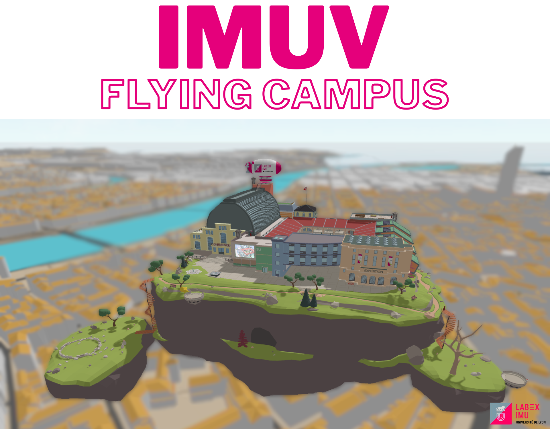
- Flying campus : a game taking place in a campus flying over a city.
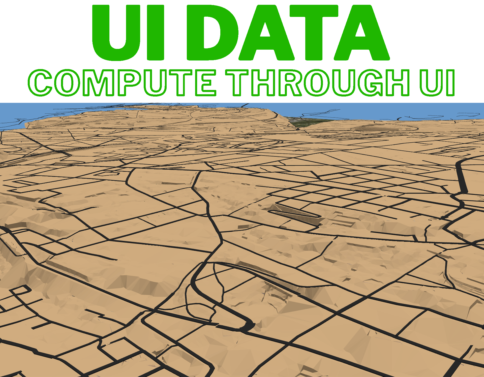
- UI data driven : upload data through UI and obtain computed results
- Multi Data Navigation : multidimensional urban data visualization and navigation ( 2022 GeoDataDays event - Geodata Challenges ; relies on a this Strabon RDF Triple Store )
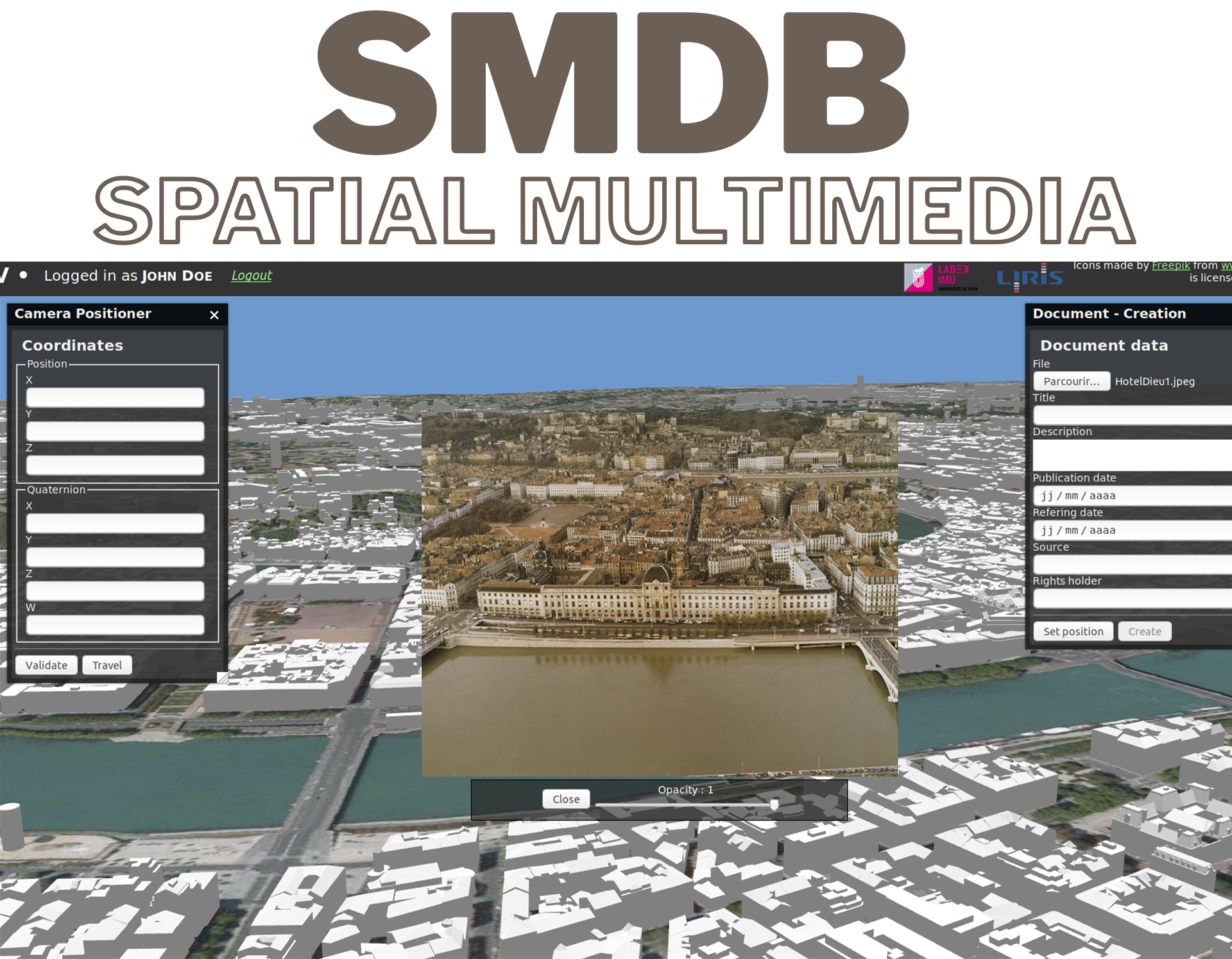
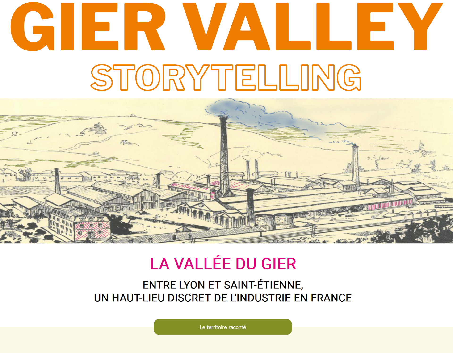
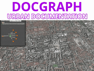
- Storytelling in a 3D environment : explore the industrial history of the Gier valley through geographic storytellings (integration of urban data, geographic layers and multi-media documents)
- Visualizing Concurrent Scenarios of Evolution : A demonstration for visualizing concurrent scenarios of evolution of the Gratte Ciel neighborhood using RDF semantic graphs, Workspaces (https://hal.science/hal-02454953/file/article.pdf), and 3D City models.
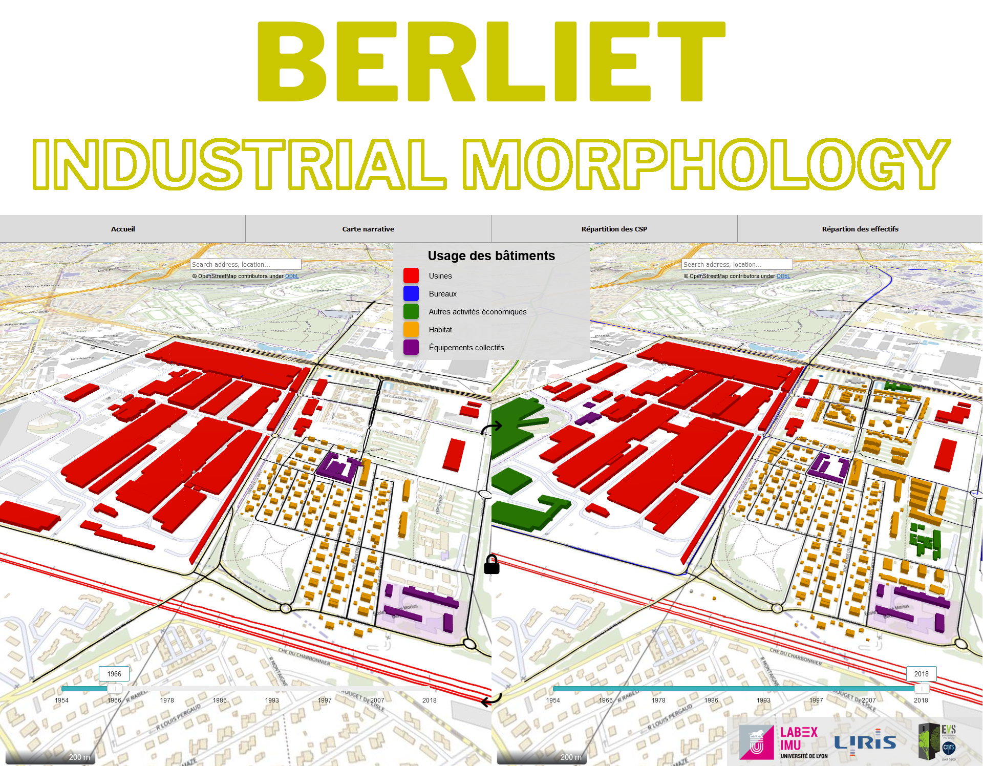
- Industrial morphology : understand the evolution of the Berliet industrial site by comparing two temporal views
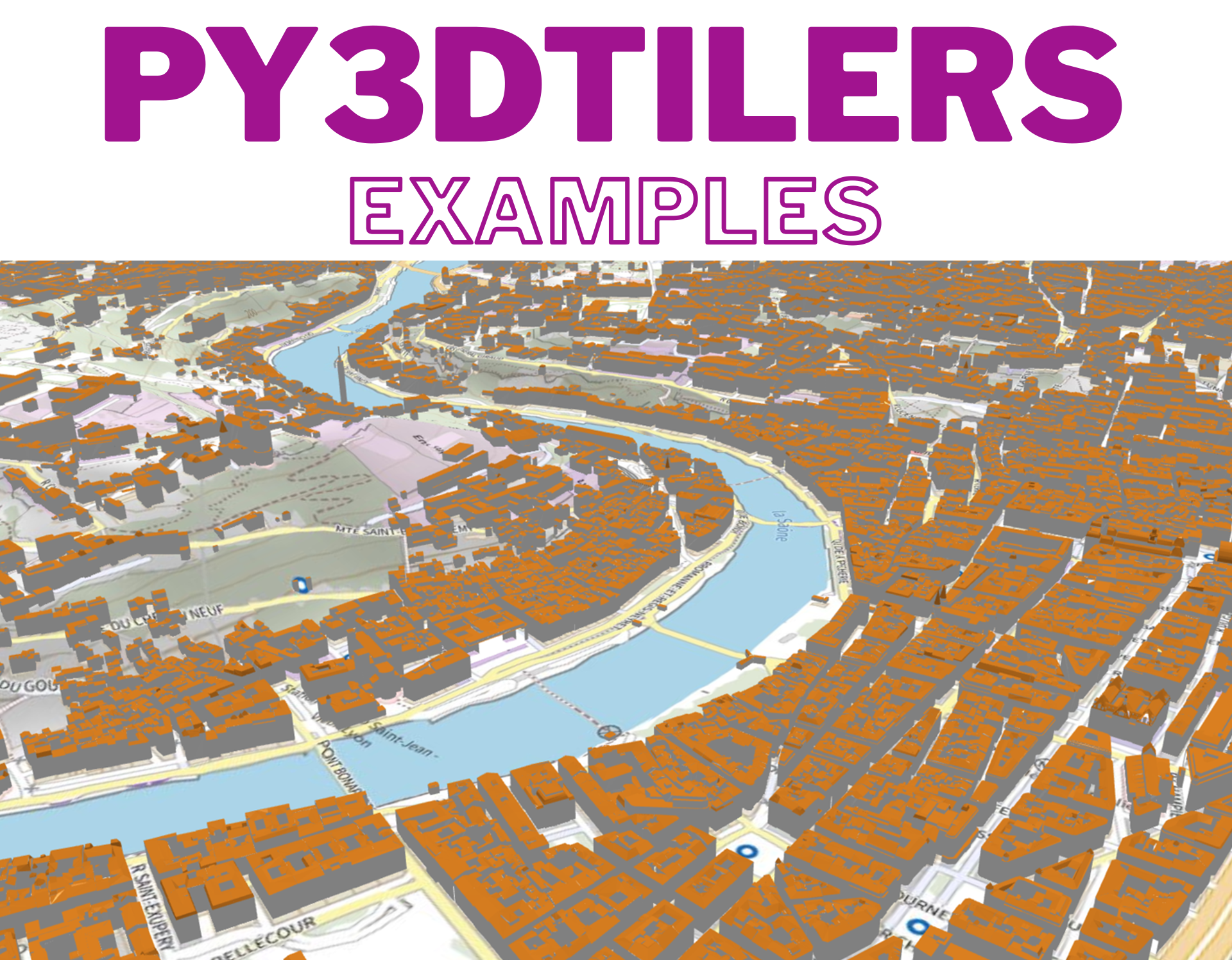
- 3DTiles zoo created with py3dTilers (water, terrain, buildings, bridges, roads)
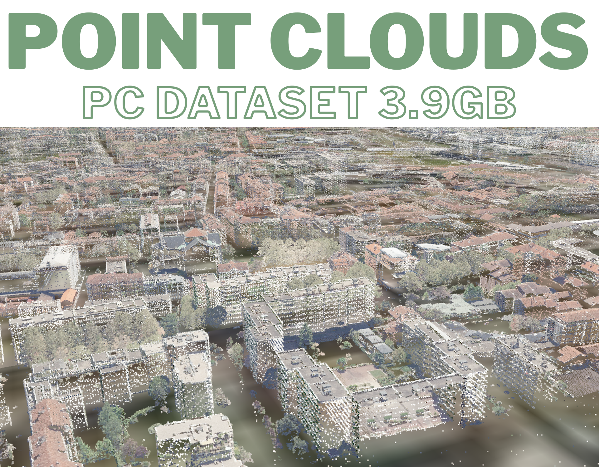
- Displaying point clouds : the PC dataset is 3.9Gb
- 3dTiles tilesets with LODS : interactive usage of Level Of Details (LOD)
- City wide 3dTiles tileset visualization : roughly 800k cityObject instances (mostly buildings)
- 3DTiles with IFC and CityGML : Docker container for the multi-visualization of the campus of La Doua
VCity's online demos
Main Demos
Examples
3DTiles related demos
Our research is very often carried out with a multidisciplinary approach which has often led us to beautiful collaborations (Astrophysicists, Paleoanthropologists, Historians, Urban Planners, Geographers, etc.). The Vcity project focuses on modes of representation and the dynamics of the city. This project, anchored between geometric modeling and data science, leads to propose new data processing algorithms, in order to allow a better understanding of the territory, but also of its possible evolutions. The data is geometric (generally 3D) and has a related semantics and topology. It often refers to the time and space in which it will evolve (rapidly with sensor data, but also over long periods of time with the evolution of infrastructures in the city for example). The processes that we propose takes into account these spatio-temporal but also thematic dimensions and should allow the exchange of data in an interoperable way by relying on new standards (ISO TC 211, OGC) but also by allowing the creation of new standards. In this page we list some demonstrations resulting from research programs funded since 2013.