Virtual City Project
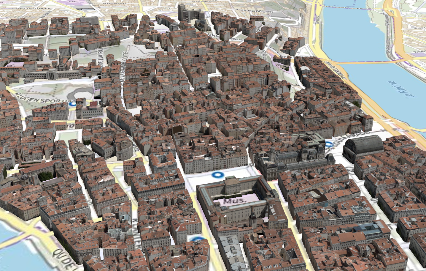
Example of 3D Visualization of Lyon
Vcity Team’s research activity is anchored in the field of geometric modeling and data science, with an approach that has often led us to collaborate with various disciplines (astrophysicists, paleoanthropologists, historians, urban planners, geographers, etc.). In recent years, our project has therefore focused on modes of representation and the dynamics of the city. This theme, anchored between geometric modeling and geomatics, leads us to propose new data processing algorithms, to allow a better understanding of the territory, but also of its evolutions. The data is geometric (generally 3D) and has related semantics and topology. It often refers to the time and space in which it will evolve (rapidly with sensor data, but also over long periods of time with the evolution of city buildings, for example). The processes that we propose to consider are based on spatio-temporal, but also thematic dimensions and should allow promoting the exchange of data in an interoperable way. The standardization processes in which we are involved, for example within consortia such as the Open Geospatial Consortium (OGC), enable the creation of new standards.
The use of these data leads us to look at several scientific bottlenecks:
- Agglomeration of data: The first issue concerns the agglomeration of heterogeneous data to fulfill the demands of experts. In our research, we are positioned in the context of interoperability based on norms and standards. We participate in the creation of standards of the Open Geospatial Consortium (OGC) and ISO TC/211 . In our work, we often look at 3D data but we also follow the development of the standard concerning, for example, sensors, coverages, or vector data.
- City Evolution: This second aspect has already been covered for many years in 2D but needs to be studied in a normative context for 3D. We are currently working on amendments proposals for standards in order to manage the evolution of city objects (buildings, vegetation, urban furniture, land). Managing the evolution of the city during time is targeted and some solutions are now available in our team.
- Modes of representation for cities: This third point concerns the possibility of providing a “dedicated view” to the researchers or practitioners we meet. The model imported into a noise simulation is not necessarily the same as the one required for a simulation process of water flow. A 3D model proposed to an urban planner will not possess the same elements that a model dedicated to tourism application. Our research focus consists in modifying the geometry and semantics associated with the data according to the concerned need. We want to deduce these views from the initial model in an automatic way. This point is also related to the problems of data visualization, whether it takes place in a third-party application or in a web browser. The city representation is completed in our work by media that may provide another way to understand the city.
- Analysis tools: The last point that interests us for short-term research is the possibility of extending 2D operators, which have existed for years, to 3D. They allow us to propose new decision support tools to practitioners when 3D is necessary (range of antenna, measure of the inconsistencies compared to a Local Development Plan (LDP), easements around flight cones of aircraft,…). Operators are not only based on geometry; semantics and topology are also invoked.
The scientific obstacles discussed above can only be addressed if we provide tools to access, edit, and visualize 3D data of the city. These tools are lacking in many laboratories we work with, which are from the field of Communication Science or Social Science. Virtual City project funds are provided from:
- Université Claude Bernard as part of the call for projects BQI
- Labex Intelligence des Mondes Urbains ( IMU )
- IdEx Université de Lyon, DatAgora Project
- TIGA project (Territoire Innovants de grande ambition)
- Companies under joint projects related to this LIRIS project.
Since 2012, we strive to develop a solid software foundation supporting today several research projects, which will be detailed on this website.